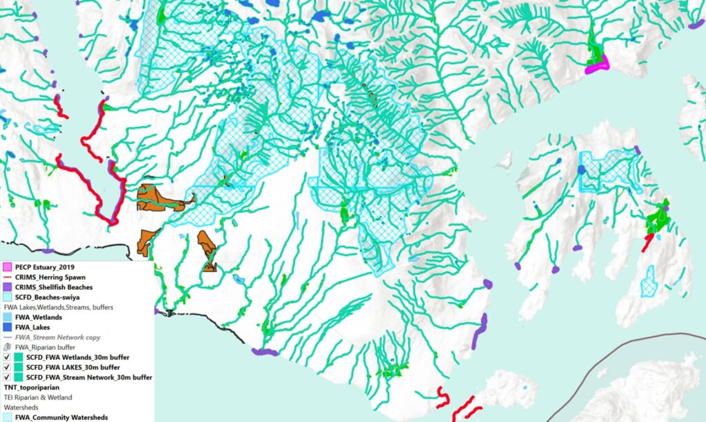
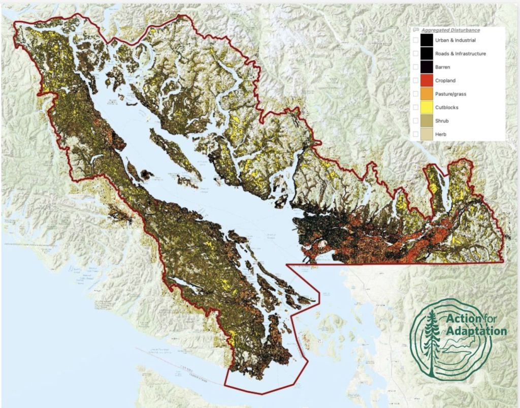
The Action for Adaptation project team undertook conversations with local government and First Nations Planners in 2021 and 2022. The planners stated that better mapping and tools are needed to identify areas important for biodiversity protection and nature-based solutions.
This webpage summarizes the report written by Kelly Chapman from KWest Inc., that contains a literature review rationalizing the mapping layers, and a summary of data sources and methods that were used. It describes what the mapping reveals about important ecological features, and outlines how these features can be incorporated into conservation and land use planning, with a specific focus on planning climate-resilient green infrastructure.
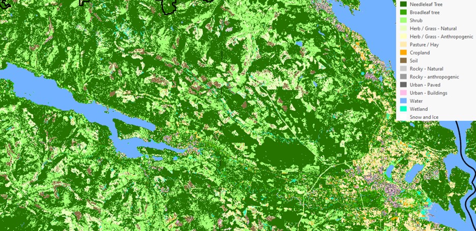
Land Cover
Description
Why we created it
Brief Methodology
(Link to detailed methodology)
Uses
How to use it
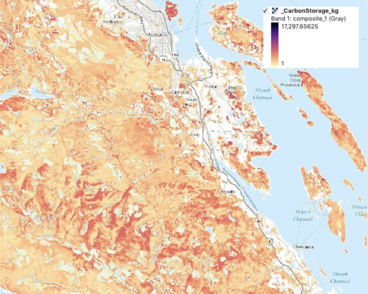
Forest Carbon mapping
Above Ground Biomass Carbon
Description
Why we created it
Brief Methodology
(Link to detailed methodology)
Uses
How to use it
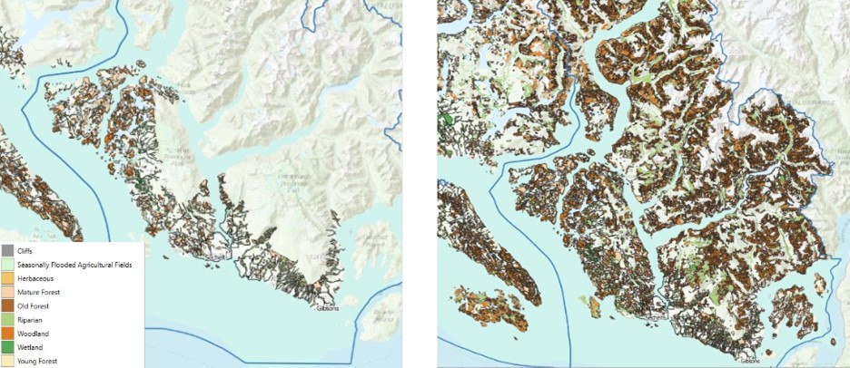
Environmentally Sensitive Areas
Description
Why we created it
Brief Methodology
(Link to detailed methodology)
Uses
How to use it
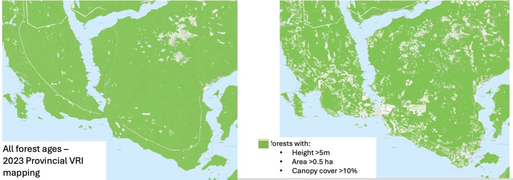
Comparison of Forest Cover mapping. Action for Adaptation mapping on the right reveals more than Provincial Vegetation Resource Inventory mapping