Examples
Sea to Sky Wildlife Connectivity Project
by the Squamish Environmental Society and Howe Sound Biosphere Region Initiative Society
written by Amy Melhus
The Squamish Environmental Society (SES) and the Howe Sound Biosphere Region Initiative Society (HSBRIS) are working to plan and create connected and biodiverse wildlife habitat networks that remain flexible to evolving environmental conditions. These networks ensure that species can move from one area to another safely and freely.
Introduction
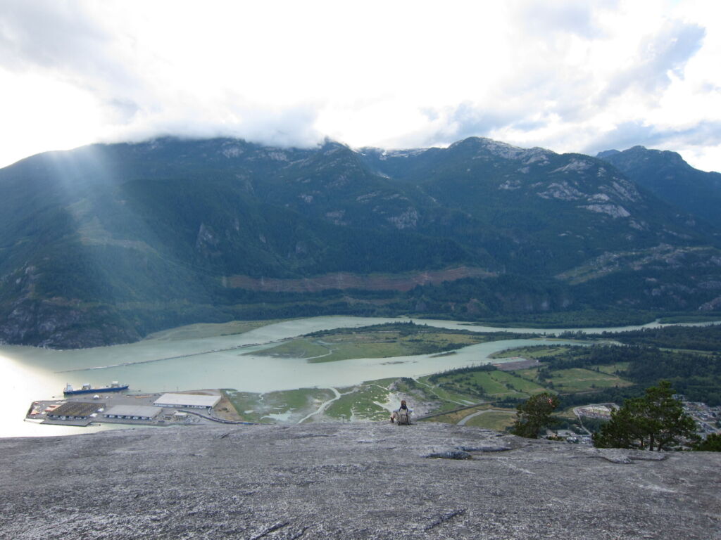
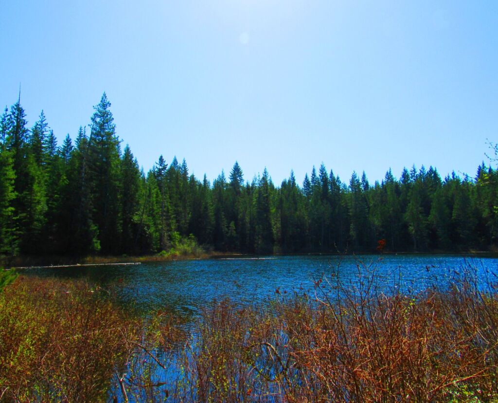
The Squamish and Howe Sound regions are incredibly biodiverse, home to many plant and animal species. However, the region faces many challenges. Urban expansion and development density, combined with the effects of climate change, pose significant threats to many species. Degradation of the land these species call home can be detrimental to their survival. . This project aims to enhance habitat by reducing environmental degradation, habitat fragmentation and biodiversity loss.
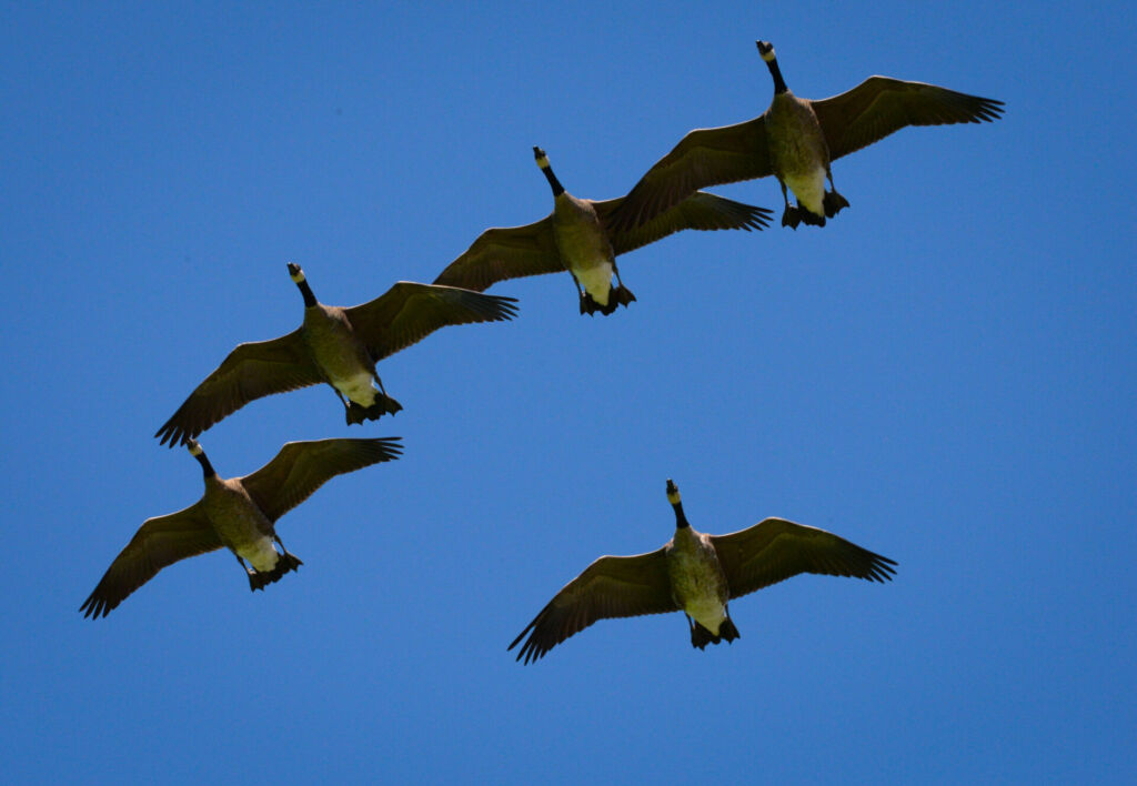
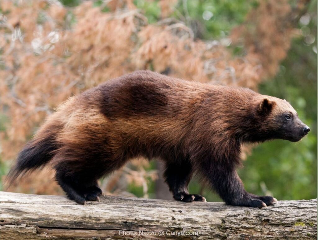
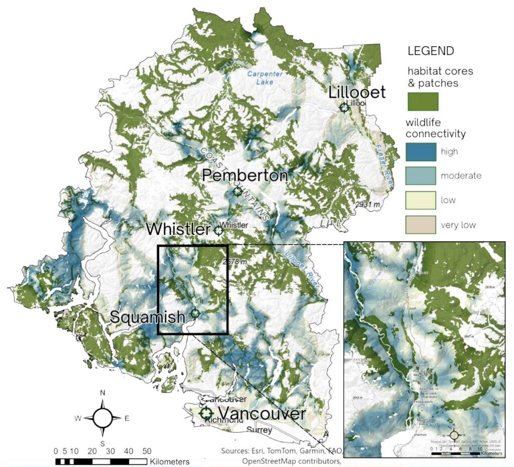
The habitat connectivity networks planned consist of habitat cores, which are large areas of intact species habitat, as well as smaller patches, connected by wildlife corridors. These connected areas increase the ability for species to find food and shelter. They help to maintain healthy populations by making it easier for animals to find mates and seek protection from increasing environmental threats (Andy et al., 2025).
The main goal of the project is to “enhance adaptive land management capabilities by empowering Project partners to co-develop actionable wildlife connectivity and biodiversity conservation strategies that build on the strengths of Western Science and Indigenous Knowledge, are effective across local and regional scales, align with broader goals and objectives of Canada’s 2030 nature strategy and remain flexible and responsive to evolving environmental conditions” (Andy et al., 2025).
How were connectivity corridors identified?
Andy et al. 2025 provide a three-step process for creating a Multi-Species Connectivity Model to help people identify wildlife corridors.
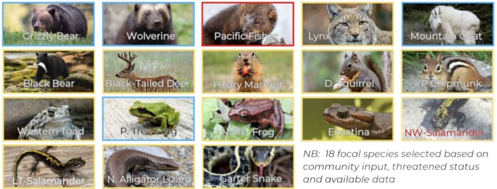
For the first step, the team developed Species Distribution Models (SDM) using MaxEnt Machine Learning technologies to help determine a subset of focal species. The model predicts the likelihood of habitat use using geostatistical correlations between wildlife observations and corresponding environmental variables.
In step two, the team used spatial prioritization techniques to identify high-quality habitat areas. They used groups of focal species with similar home range size and habitat preference. This process involved the hierarchical ranking of environmental variables that help to measure habitat quality and level of protection under the guidelines of the IUCN. It also takes into account the degree of landscape disturbance and constraints.
The third step combines habitat core areas with the human footprint. This step assesses least-cost movement pathways for the desired focal species using LinkageMapper techniques. Networks of priority linkages are developed using species-specific movement pathways and generate an ecologically robust and actionable map of wildlife connectivity.
What prompted the development of this project?
In 2019, a citizen of Squamish presented to the Squamish Council about the need for the city to create and support wildlife and habitat connectivity throughout the district (Squamish Environmental Society, 2025). The presentation was not successful in making the district act upon the need for habitat connectivity and wildlife protection in the area.
However, in 2021, donor funding allowed the SES to work together with CostaRange Environmental to complete some basic research into what needs to be done in the area to better protect wildlife and maintain habitat connectivity (Squamish Environmental Society, 2025). Private donors and contributions from groups in the area allowed for SES to continue working with CostaRange into the 2022-2023 season (Squamish Environmental Society, 2025). This allowed for better research into options on what can be done in the area and what technologies can be used.
Where did the project funding come from?
The funding for this project came from Environment and Climate Change Canada through the HSBRIS for the Enhanced Nature Legacy fund. This fund provides money to Canada’s 19 UNESCO Biosphere Reserves for biodiversity conservation.
The project also received funding from the Squamish-Lillooet Regional District and the District of Squamish in addition to grants from the Real Estate Foundation of BC, BC Conservation and Biodiversity Awards Foundation and the McLean Foundation.