Examples
Environmentally Sensitive Area Mapping and Environmental Development Permit Areas in the City of Courtenay, BC
Written by Amy Melhus
Environmentally Sensitive Area (ESA) mapping provided the City of Courtenay with information on the status and location of ecosystems within the city’s boundaries and habitat connectivity in order to protect sensitive ecosystems while making decisions on land development. Using this mapping, the City designated Environmental Development Permit Areas (EDPA) that require an application for a permit before construction or alteration of the land to “protect ecosystems and features that provide habitat for aquatic and terrestrial species, protect biodiversity and provide ecosystem services when conducting development near Environmentally Sensitive Areas.
How did the Environmentally Sensitive Area (ESA) mapping begin?
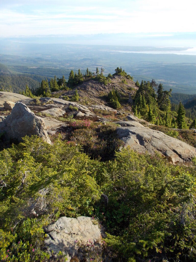
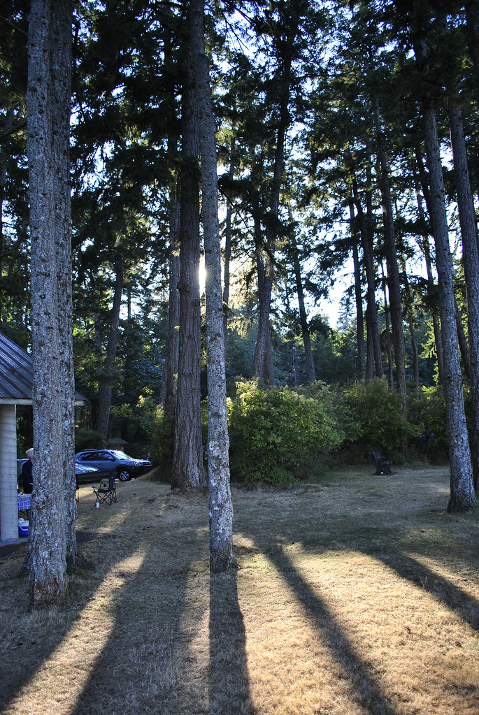
Light Detection and Ranging, also known as LiDAR data, a form of remote sensing which uses photos taken by a satellite plane or drone to analyze land use changes or tree cover on the ground, was used to map terrestrial ESAs. LiDAR imagery was originally obtained by the City to inform its Urban Forest Strategy (UFS). The UFS is used to guide how the community protects trees on private and public land within the boundaries of Courtenay. The UFS undertook both a canopy and species analysis that was then incorporated into the 2022 update of the EDPA and used to highlight areas for potential connectivity corridors within the city. This included areas with vegetation that might provide a connectivity corridor as well as potential spaces for new vegetation to create and enhance a connectivity corridor.
When collected, this LiDAR data showed an increase of degraded ecosystems within the City’s boundaries and a decrease in tree canopy cover from the early 2000’s to 2016. This led the City to identify where the remaining habitat connectivity corridors were located and where potential new corridors could be established. This was not part of the original scope of the consultant’s work, but was an interpretation of the data that was easily tacked on at little additional cost.
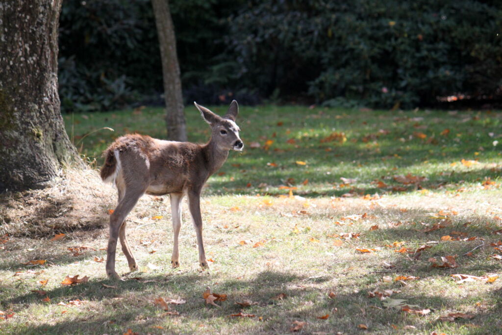
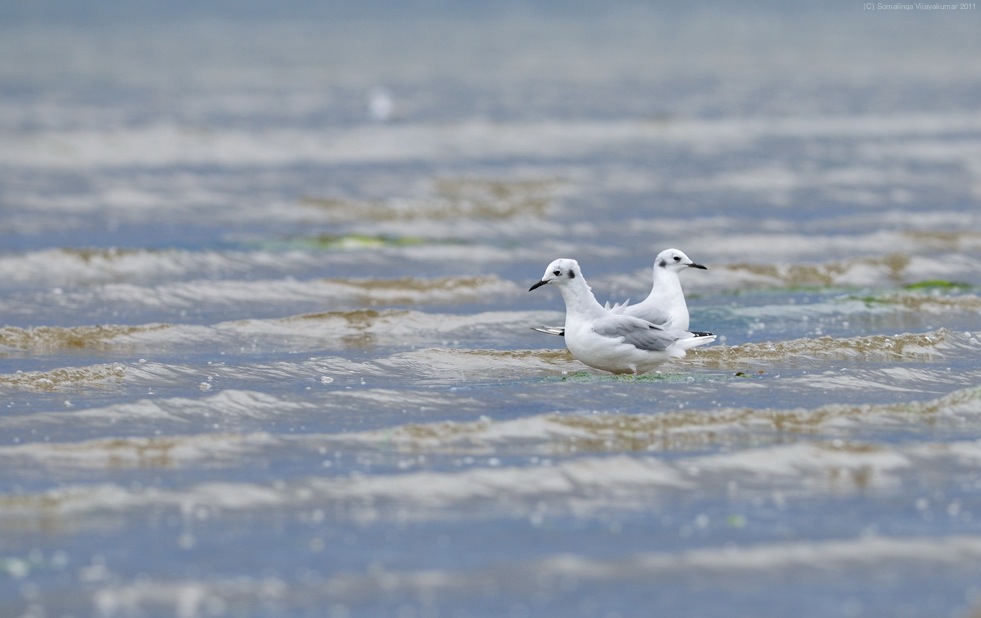
The City then consulted local non-profit biologists to help determine three important species to represent different habitat types that need protecting. The three chosen species were the red legged frog representing aquatic and riparian moist mature forest, red squirrel representing the mature conifer forest and the brown creeper to represent large patches of mature forests both deciduous and coniferous. The data was then analyzed to locate key patches for connectivity for these species, hubs and pinch points such as major roads or large developments.
The other inputs for the mapping came from Sensitive Ecosystem Inventory (SEI) updated 2014, Conservation Data Centre (CDC) occurrences including the Wildlife Tree Stewardship Atlas and data of raptor and heron nest collected by the city or provided by the province or the public.
Why are Environmental Development Permit Areas (EDPAs) needed?
EDPs are required if anyone plans on developing a property that contains an ESA, whether it is mapped or not. Areas not mapped can still be considered ESAs if they have the defining characteristics, such as endangered species habitat or eagle nests, and should be treated as an ESA. All properties larger than 4,000 meters squared require an Environmental Impact Assessment (EIA) to determine the presence or absence of an ESA prior to development permit approval. This applies to all privately-owned land within the city’s boundaries, unless otherwise excluded.
The EDP needs to be obtained prior to any development, including but not limited to construction or alteration of buildings or structures, removing vegetation, disturbance of gravel, sand or soils, and provision or maintenance of sewer or water structures.
What are the guidelines for the EDPA?
The general guidelines for an EDPA inform applicants about on-site planning procedures, ecosystem restoration and recovery, fences, trails and signage, and information on the construction phase.
The guidelines for site planning procedures includes following the EIA buffers for ESAs, supporting the maintenance and restoration of natural system functions, creating wildlife crossings for roadways, and not disturbing nesting sites.
The guidelines for ecosystem restoration and recovery include replanting of disturbed areas, reintroduction of native species lost during development and the need for plans to be completed by a Qualified Environmental Professional (QEP) such as a Registered Professional Biologist (RPBio). The fences, trails and signage guidelines emphasize the importance of protecting ESA included trees with permanent fencing, preventing encroaching on protected areas and designating trails.
Finally, the construction phase guidelines ensure that construction is done in the best period of year to not disturb wildlife, native plants with high conservation value should be salvaged, and erosion control measures should be installed before construction.
What is the process of obtaining an Environmental Development Permit?
Before applying for a development permit, a person must complete a plan for what they wish to develop and where. It is strongly suggested that they meet with the City of Courtenay on a Pre-Application Consultation Meeting which confirms regulatory requirements and can help to set realistic standards for what can and cannot be done.
A formal application and submission must then be completed which requires a landowner or developer to have an R.P.Bio. survey their land to determine if it is located on or adjacent to an ESA. The Official Community Plan includes information on pre-existing ESAs identified on the property.
Staff within the city will then complete a review and may ask for additional information. The City refers the application to all affected agencies and jurisdictions and includes the local stewardship sector given their direct experience with ecosystems in the community. The city retains the right to send out their own contracted R.P.Bio. to survey the site at the cost of the applicant as indicated in the EDP application process. Once the additional information provided by the applicant is reviewed, municipal staff will then approve the EDP or provide feedback on what needs to be changed before the EDP can be approved. The plan would then need to be altered to reflect these changes before the EDP will be approved.
Has the implementation been successful in meeting its goals?
Since amendments to the EDPA guidelines were adopted three years ago in 2022, it is hard to determine if it has been successful. Most of the habitat corridors within the city have had protected areas prior to the introduction of this legislation through the OCP bylaw, making it hard to determine the impact of the 2022 EDPA amendments directly.
With the introduction of new regulations in BC to increase the amount of housing and its density, the city is uncertain how this will impact the amount of land that municipalities are able to protect within the urban containment boundary of Courtenay.
What challenges did the City of Courtenay face while implementing EDPAs ?
The lack of defined and specific methods and guidelines for ecosystem protection within Courtenay has caused problems when processing EDP applications. When an QEP is assessing a site for whether or not it has sensitive ecosystems or is a significant connectivity corridor, they often have questions for the City about what the evaluation should encompass.
The City is following a professional reliance model established by the Province of BC and therefore asks the R.P.Bio. to use their professional discretion to determine the connectivity opportunity, which can be quite arbitrary. Without standard methods of what should be protected within an ESA, a lot is left up to the QEP to determine. The more clarity that can be provided in EDPA guidelines makes it easier for the City, applicants and the wider community to understand what is expected.
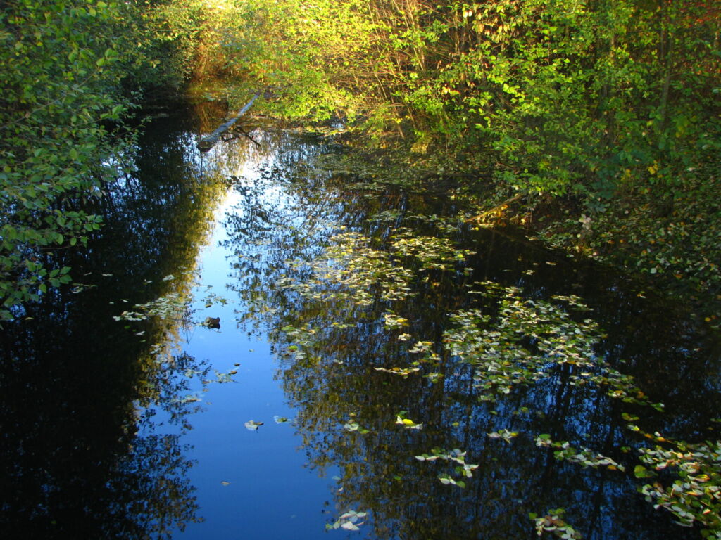
The City also faces challenges in their requirement for a larger riparian buffer than defined by BC’s Riparian Area Protection Regulation (RAPR) and that is grounded in science. Courtenay aims to require a 30-meter buffer around all riparian areas during development which exceeds the guidelines within the RAPR, for some streams. The city is seeking clarity to determine if they are legally allowed to decline a development permit that falls beyond the RAPR guidelines but does not meet the policy specified within the OCP bylaw.
What would the City of Courtenay done differently?
It would be very beneficial to create educational guides for the public that show imagery of what endangered ecosystems and species they could expect to find on their land. It would be helpful for citizens to have an easily accessible tool to aid them with species and ecosystem identification before applying for an EDP.
Before this project, if the budget allowed, it would have been beneficial to do more ground truthing in a variety of sites to ensure the land on the ground matched the LiDAR data. Combining this with information on what this data means for each patch of the ecosystem would have been ideal.
How was this project funded ?
The EDPA mapping was done entirely in-house using existing staff, as there was no budget for the city to hire a consultant to complete the work. Staff relied on work done in the UFS and and using existing mapping inputs from other sources to help determine the criteria for which parcels of land to protect. This work for the UFS cost $100,000 in 2018, with around $11,000 being spent on ecosystem connectivity mapping in GIS and $85,000 on employee salaries.